A COPPER ANOMALY NO DRILL HAS TESTED.
A grassroots copper-zinc prospect with precious-metal potential, east-southeast of Enderby in southern British Columbia, with good road access and an 800-metre soil anomaly still waiting for its first drill hole.
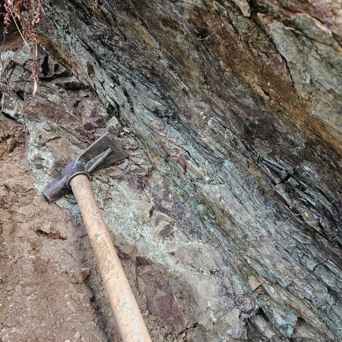
Mineralization and geology are indicative of a volcanogenic massive sulphide (VMS) system, suggestive of volcanic-hosted copper-zinc massive sulphide of the classic kuroko type.
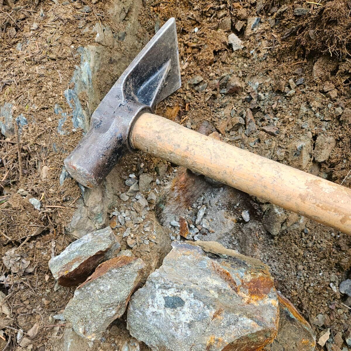
Select rock samples from the main showing grade up to 15.6% copper and 31 g/t silver.
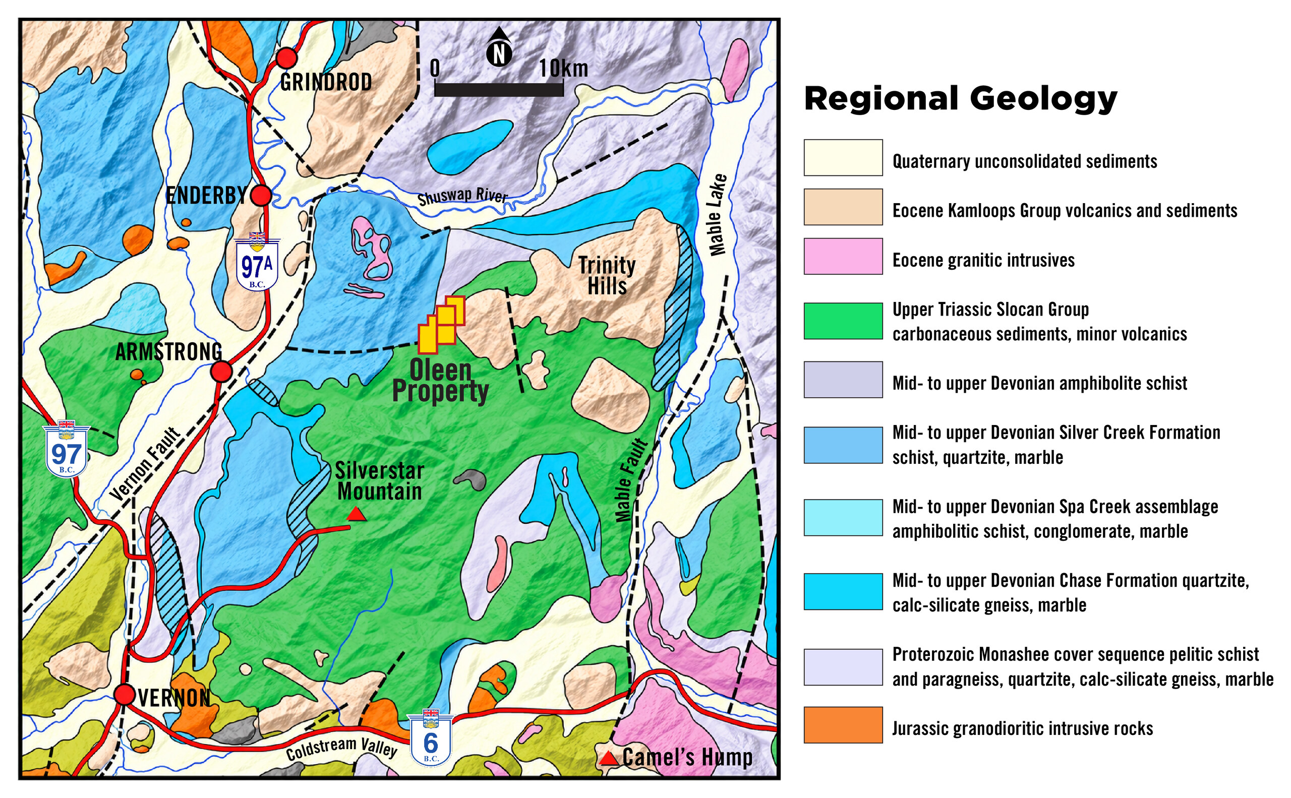
The property is located in a geologically diverse area near Enderby, Armstrong and Vernon, B.C. The map shows a range of mapped rock units, including Devonian metamorphic and sedimentary assemblages and Upper Triassic Slocan Group rocks. The regional map also identifies the Vernon and Mable fault systems. Property-scale mapping is needed to establish their relationship, if any, to mineralization on the claims.
Cu-Zn soil anomaly with values up to 1,420 ppm Cu, backed by geophysics and high-grade surface mineralization.
Total historical drilling on the property, and neither hole tested the geochemical anomaly.
With 3% Pb in one 1985 drill-hole sample, suggesting a separate style of mineralization on the property.
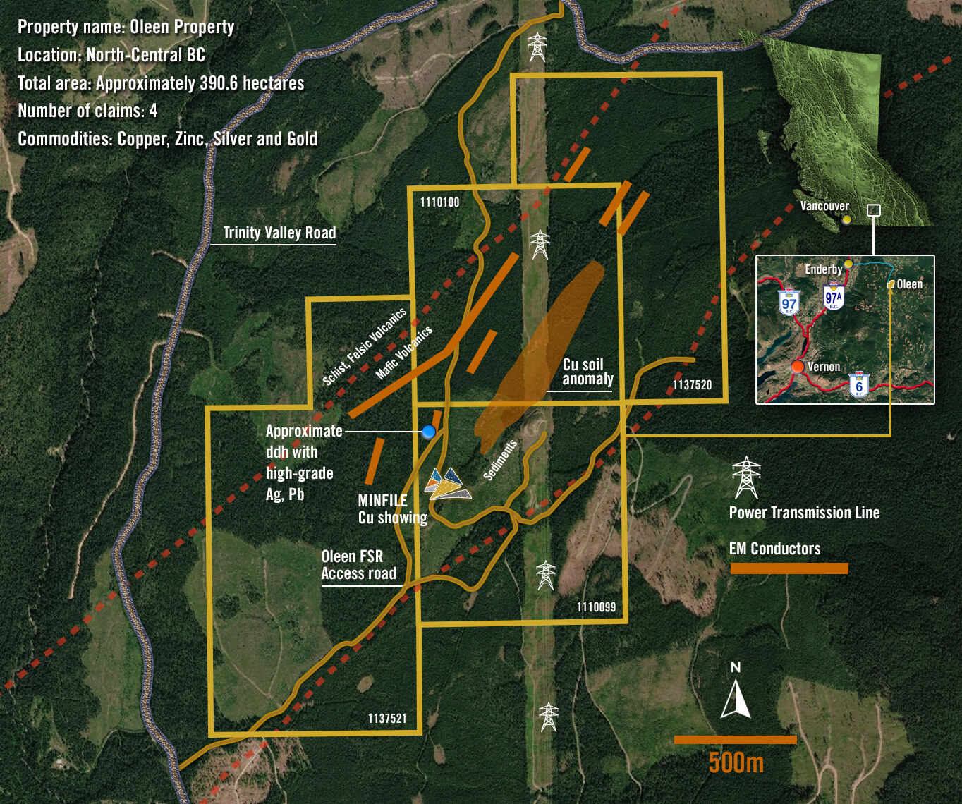
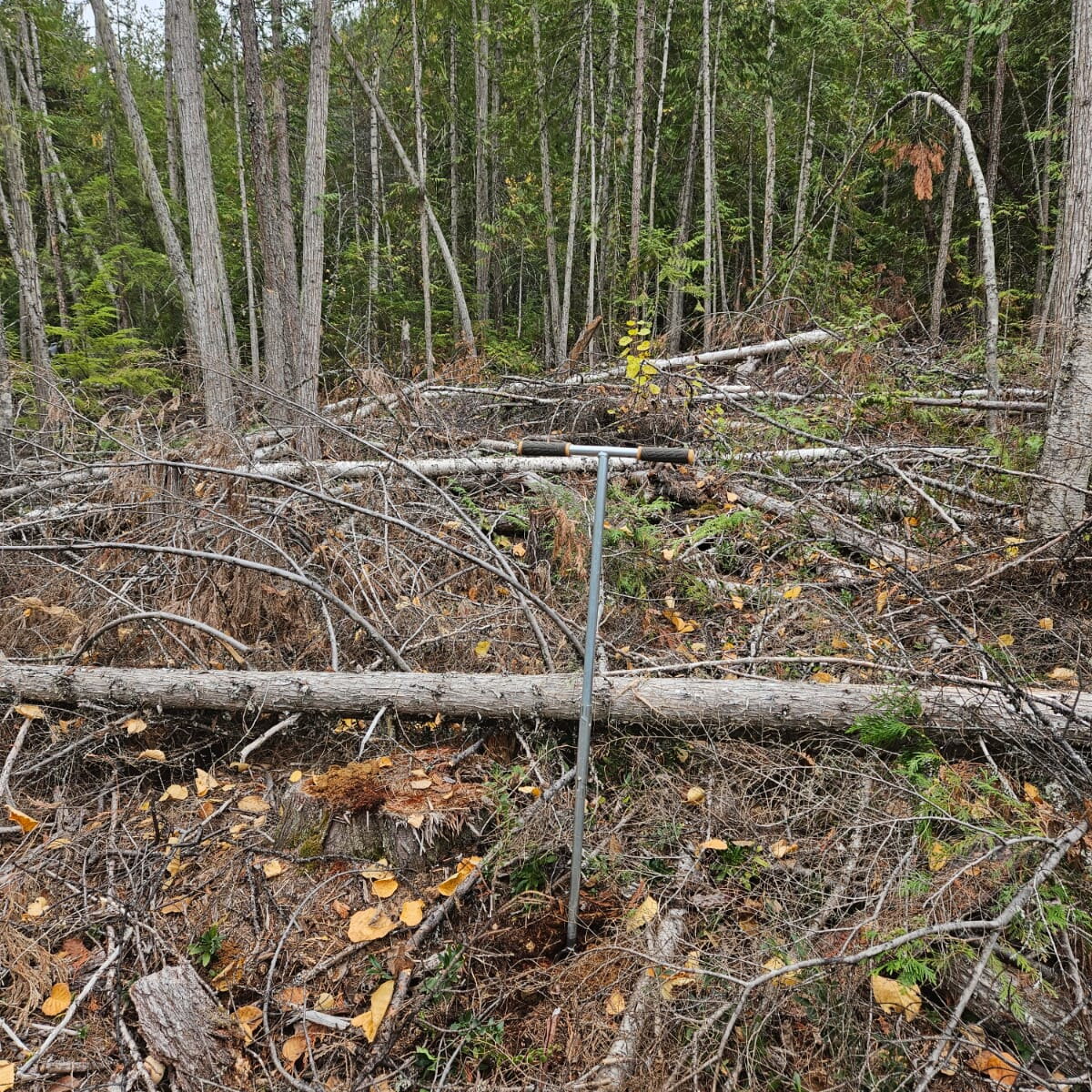
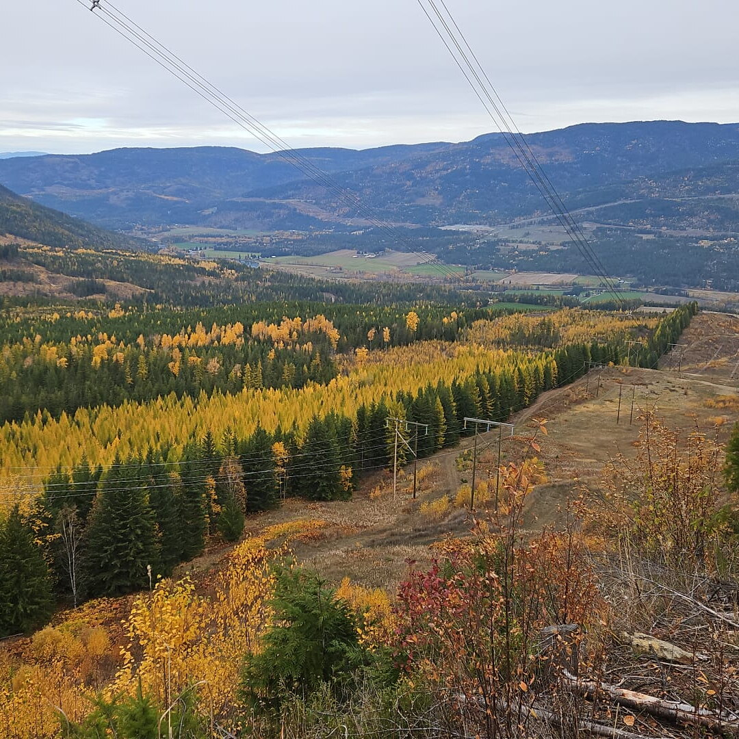
Trinity Valley Road and Oleen FSR access are shown on the property map. A power transmission line crosses the broader claim area.
Geological evidence is permissive of a deformed massive sulphide lens, with a stringer or “feeder” zone stretched out to the southeast, possibly exposed at the main showing. Classic kuroko-type deposits carry lead-zinc-rich overlying and distal zones, which may account for the silver-lead intersection in the 1985 drill hole. Massive copper mineralization may occur within the untested zone, directly beneath the soil geochemical anomaly.